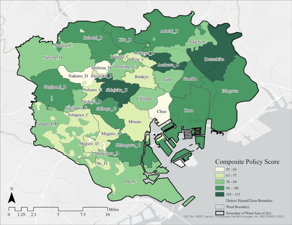
As a manifestation of climate change, extreme heat is becoming an increasingly frequent and severe hazard in many parts of the world, causing widespread impacts. Studies have suggested that land-use/development plans can help make communities less vulnerable to these impacts if they are well integrated. Nonetheless, there has yet been any study developing and elaborating how to assess if plans are integrated for reducing communities’ vulnerability to extreme heat. This much-needed method is what this study introduces by using Tokyo, Japan, as the study site. This study does so by expanding the Plan Integration for Resilience Scorecard™ (PIRS™). It adds to the original PIRS™ approach by (1) comprehensively including plans from all administrative tiers, (2) adapting it beyond the Euro-American context, and (3) widening its thematic focus from flooding to extreme heat. An additional methodological innovation is inherent in the last point of extension as this study pioneers using the COMfort FormulA index to model extreme heat exposure. The results of this extended PIRS™ show that Tokyo’s plans are overall integrated in reducing communities’ vulnerability to extreme heat. However, they fail to target the areas most exposed to extreme heat, nor the root causes of the extreme heat in the city. This study concludes by drawing policy recommendations based on the PIRS™ findings, such as expanding the scope of structures whose environmental performance the policies may target.


