Problem, research strategy, and findings:
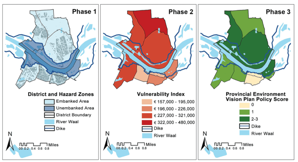
In this study we analyze plan integration for flood resilience in the city of Nijmegen, the site of the largest Room for the River project in The Netherlands. Little is known about the degree to which local and regional plans are coordinated with the national Room for the River program or about the cumulative influence of plans on flood vulnerability. To effectively investigate these issues, we use and build upon the Plan Integration for Resilience Scorecard (PIRS) concept and method, which analyzes the consistency and effects of networks of plans on community vulnerability. We expand the scope to include plans from multiple administrative scales and the focus to include environmental vulnerability. Using a three-phase evaluation process, we demonstrate that Room for the River policies are well integrated in Nijmegen’s network of plans, particularly with respect to flood safety and natural protection. However, we also find that policies at different administrative scales lack consistency in some places, some socially vulnerable neighborhoods receive comparatively little policy attention, and local plans often prioritize development over flood resilience, though higher tier plans sometimes make up for these policy gaps. Flood resilience is still finding its way in the Dutch planning system.
Takeaway for practice:
The PIRS offers planning practitioners a method to assess how networks of plans influence community vulnerability and, as demonstrated in this analysis, to determine the degree to which plans at multiple administrative scales target the most physically, socially, and environmentally vulnerable geographic areas. It can be used to support the ambitious goals of a program like Room for the River and align them with local development priorities.

FROM P.421

