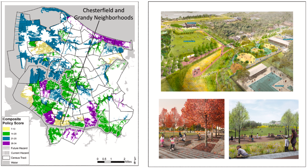
Communities adopt multiple plans that directly and indirectly address the effects of hazards and climate change. A major obstacle to responding to the growing threats is poor integration of individual planning efforts that govern land use and development. We explore application of a Plan Integration of Resilience Scorecard (PIRS) in the U.S. cities of Nashua and Norfolk that involved a partnership between university experts and local government staff to assess the degree to which networks of local plans are coordinated and target hazardous areas. A team of local evaluators in each city found that plans are not fully consistent; moreover, some plans actually increase vulnerability. Outcomes from learning and engagement vary. Nashua included a broad network of stakeholder groups, but Norfolk was more focused on elected officials and neighbourhood groups. Nashua amended its hazard mitigation plan, reorganized the permitting process, and used crowdsourcing technologies to encourage public participation. Norfolk revised its comprehensive plan to improve coordination with other plans, prioritized funding to redress environmental injustices, and strengthened location standards for new infrastructure. PIRS represents a potential model that communities can use to respond to global calls to catalyse a shift from independent resilience operations to longer-term, more coordinated planning.

FROM P.6

